
Features
Roads & Paving
Technology
Drones for grading and earthmoving applications
July 9, 2018 By Andrew Snook
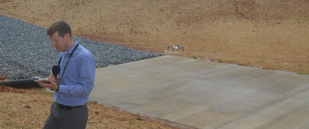 John Deere WorkSight's Andrew Kahler pilots a Kespry drone during the Deere-Hitachi Kernersville Media Event, which celebrated the 30th anniversary of the Deere-Hitachi Construction Machinery Corporation at its Kernersville factory in North Carolina. Andrew Snook, Rock to Road
During CONEXPO-CON/AGG 2017, John Deere announced it was entering a strategic alliance with Kespry designed to simplify drone integration on construction jobsites.
To learn more about the latest product and service offerings related to drone applications for earthmoving and grading, Rock to Road spoke with Andrew Kahler, product marketing manager for John Deere WorkSight. Kahler discussed how the Kespry Aerial Intelligence system is improving efficiencies on jobsites. Here’s what he had to say:
What are the main applications related to grading and other dirt moving applications that John Deere is focused on for drone applications? Can you describe how these drone applications will provide contractors time/cost savings?
John Deere promotes the Kespry Aerial Intelligence system in a number of applications spanning construction, mining, and aggregate. The survey-grade data captured by the Kespry system is useful for a number of jobsites. This system can provide near real-time data to optimize earthwork project planning and execution as well as inventory management.
For earthmoving projects, the Kespry system drives value before a project begins by capturing topographical data used to create an accurate project estimation. This helps to reduce unplanned costs and rework throughout the course of the project. During the project the Kespry system significantly increases the efficiency of jobsite management by providing a steady stream of jobsite progress data. The progress tracking enables jobsite managers to closely manage jobsite resources and better meet project milestones.
For quarry and aggregate customers, stockpile measurements can be completed in a fraction of the time, with error levels of one to three per cent. Flight information is transformed into three-dimensional volumetric visuals that allow users to easily view inventory changes over time. This data also generates reports that can automatically be shared with key stakeholders.
In summary, the primary benefit of the Kespry system lies in being able to quickly collect high-fidelity data that drives more accurate bidding, near real-time jobsite progress tracking, and accurate inventory tracking.
How is the data collected, organized and sent back to the contractor?
The data is collected and transformed into valuable insights with three easy steps. First, the flight is planned, next the flight is executed, and finally post process is completed to create a 3D model of the jobsite. Mission/flight planning is done using the Kespry mobile application on an iPad. The drone flies autonomously and while airborne, captures digital images and GPS location. The data is then wirelessly uploaded to the Kespry Cloud, where it is post processed to create a 3D model accurate to within 2-5CM. Once post processed, the 3D model and analysis tools are accessible within the Kespry cloud or can be exported to a software package of the customers choosing. The system can also automatically generate stockpile inventory reports and email them to stakeholders after each flight.
Does the drone operator require any form of specialized training for these applications?
In order to operate a Kespry drone in commercial applications, an operator must first pass the FAA part 107 exam and obtain a Remote Pilot Certification. Kespry-specific training is also required but is quick and easy, as the system is designed to be user-friendly.
For more information on the Kespry Aerial Intelligence system, click here.
John Deere WorkSight’s Andrew Kahler pilots a Kespry drone during the Deere-Hitachi Kernersville Media Event, which celebrated the 30th anniversary of the Deere-Hitachi Construction Machinery Corporation at its Kernersville factory in North Carolina.
Print this page